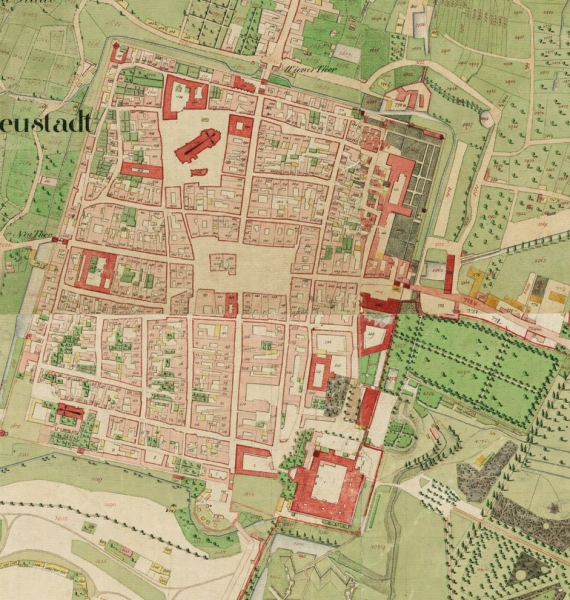
This cadastral map is meant to represent an original cadastral created by surveyors during the reign of Emperor Franz I. Land parcels are represented to show land ownership. It's main purpose is to show land ownership for the purpose of selling land or to settle land disputes. Franz I was more than likely most concerned with protecting what was his and also being aware of what was around him in the event that he may try to expand his empire through military conquest.
No comments:
Post a Comment