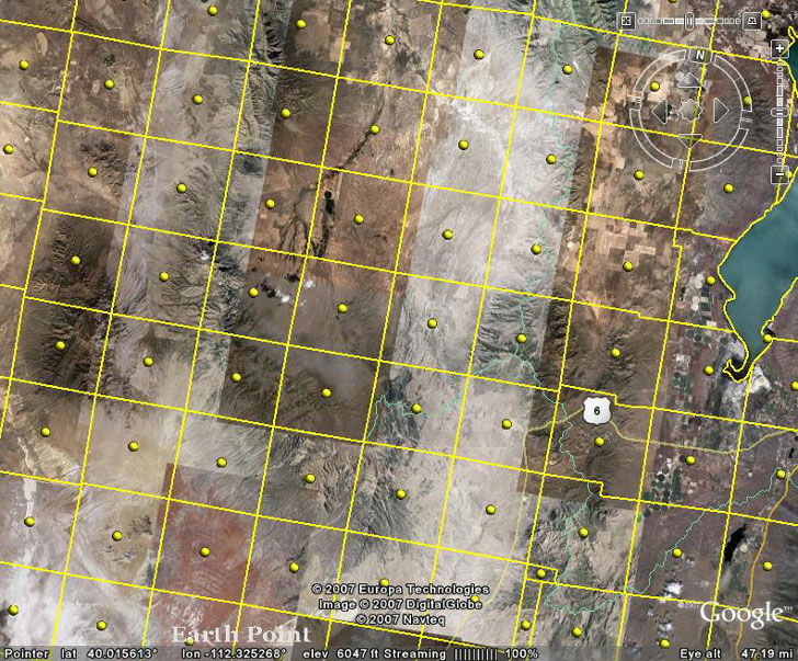
This is a public land surveying system map. This is taken from Google Earth and it has a PLSS overlay. In PLSS maps, the land is divided up evenly for the purpose of easier management. This is used to spatially identify parcels of land before land ownership. This overlay shows mile sections
No comments:
Post a Comment